Presented below are Tour Companies that offer guided biking trips and/or bike rentals in and near Canyonlands NP. Click on any name for more detailed information.
Canyonlands National Park Biking Guides & Outfitters
Search Canyonlands National Park Biking Guides & Outfitters
tour Results
Plot just the current page's results
Plot all results

2 tour Results
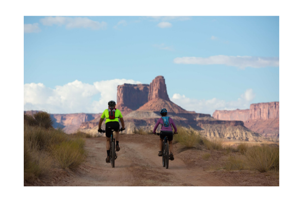
More Info Book Online Official Website Holiday River Expeditions - Biking
- Statewide Trips
- 800-624-6323
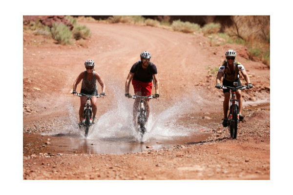
More Info Book Online Official Website White Rim Trail - Cataract Canyon - 7 day Raft & Bike - Holiday River Expeditions
- 544 East 3900 South , Salt Lake City
- 800-624-6323
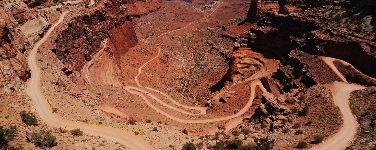
Canyonlands National Park Biking Trails
Search Canyonlands National Park Biking Trails
biking Results
Plot just the current page's results
Plot all results
7 biking Results
More Info Cassidy, Rich, & Ledge Point Trails
- 3-9 miles
- 4-6 hours
- Intermediate
More Info Colorado River Overlook
- 15 miles
- Intermediate
More Info Hatch Point Road
- 54 mile roundtrip
- 6+ hours
- Intermediate, Advanced
More Info Maze District
- 24 mile roundtrip
- 3 - 4 hours
- Advanced
More Info Panorama Point
- 16 mile roundtrip
- 2 - 3 hours
- Advanced
More Info River Confluence Overlook
- 15 mile loop
- 1/2 day
- Intermediate
More Info Official Website White Rim One Day
- 100 miles
- Expert
- Loading
Your request has been processed, thank you!
We also have the following visitor guides in Utah. Click on any additional guides you would like to receive.


Bear Lake Northern Utah
Bear Lake

Carbon Corridor Central Utah
Carbon Corridor

Davis County Northern Utah
Davis County

Uintah County - Vernal Northeastern Utah
Uintah County - Vernal

Emery County, Utah South Central Utah
Emery County, Utah

Heber Valley North Central Utah
Heber Valley

Zion National Park - North Rim Grand Canyon Southern Utah
Zion National Park - North Rim Grand Canyon

Moab Southeast Utah
Moab

Park City Summer North Central Utah
Park City Summer

Salt Lake North Central Utah
Salt Lake

San Juan County Southeast Utah
San Juan County

Capitol Reef Country Central Utah
Capitol Reef Country

Cedar City & Brian Head Southern Utah
Cedar City & Brian Head

Logan - Cache Valley Northern Utah
Logan - Cache Valley

Box Elder County Northern Utah
Box Elder County

Bryce Canyon Country Southern Utah
Bryce Canyon Country

Utah - Life Elevated Statewide
Utah - Life Elevated

Flaming Gorge Country Northeastern Utah
Flaming Gorge Country

Palisade, Colorado Western
Palisade, Colorado

Visit Moffat County Northwestern Colorado
Visit Moffat County

Park City Winter North Central Utah
Park City Winter

Ski Utah Utah
Ski Utah

Explore Utah Valley Utah
Explore Utah Valley

Visit Ogden - Northern Utah Ogden
Visit Ogden - Northern Utah
We also have visitor guides available in states highlighted in blue below. Click on any state to see what's available.
- Alaska
- Arizona
- California
- Canada
- Colorado
- Hawaii
- Idaho
- Louisiana
- Michigan
- Montana
- Nevada
- New Mexico
- Ohio
- Oregon
- Texas
- Utah
- Washington
- Wyoming