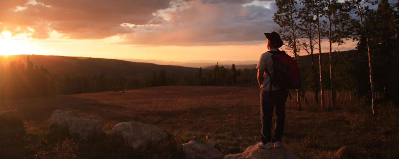


Transportation information for Flaming Gorge NRA is provided below. Travel information includes driving directions, maps, airport information and more.
Transportation Services
Flaming Gorge Resort - Transportation
- Dutch John
- Transportation Services
- 435-889-3773
River Runners Transport
- River Rentals & Shuttles
- Transportation Services
- 800-930-7238
Airports
The nearest commercial airport is in Vernal, 35 miles south of Flaming Gorge. Skywest Airlines (800-453-9417) provides daily air service there from Salt Lake City.
Map + Directions
Basic Directions
Flaming Gorge straddles the Utah/Wyoming border near the northeast corner of Utah. Though it reaches some 60 miles north to Green River, Wyoming, most of the activity and the most dramatic scenery are at its southern end in Utah.
To help plan your route, please select one of the following maps: