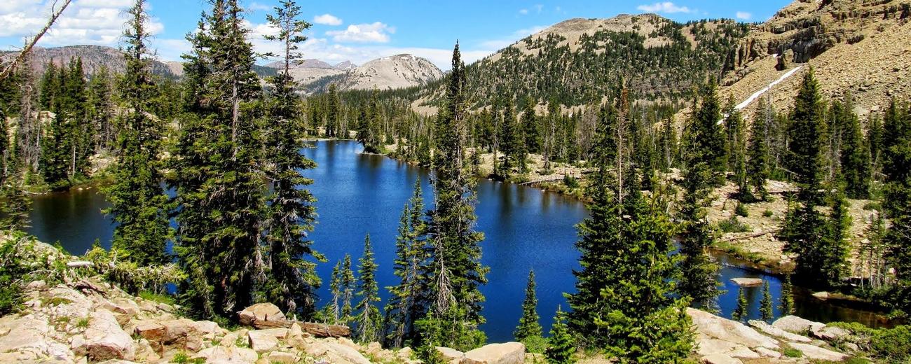
Home Destinations Skiing Lodging Camping Activities Sightseeing Books & Maps Gear


   Introduction

  Accommodations
   Lodging
   Real Estate
   RV Parks / Camping
   RV Rental

  Activities
   Biking
   Fishing
   Hiking
   Horseback Riding
   Offroad - ATV
   Snowmobiling
   X-Country Skiing
   Guides / Outfitters
   Outdoor Gear

  Sightseeing
   Scenic Drives

  Additional Info
   Books / Maps
   Tourism Resources
   Nearby Destinations
   Restaurants
   Transportation
   Weather
   Photo Gallery


Uinta Mountains - Transportation

Transportation information, including detailed maps, for the Uinta Mountains area is provided below.
Enterprise Rent-A-Car
 

 Getting There

  You'll need a car or RV to get to the Uintas. To help plan your route, please select one of the following maps:
   
 
Northern Utah Map 33K General Area Map
Uinta Mountains Area Map 22 K General Area Map
Uinta Mountains Eastern Hiking Map 16 K Hiking Trails Map
Uinta Mountains Five Regions Map 16 K Area Hiking Map
Uinta Mountains Mirror Lake Hiking Map 7 K Hiking Trails Map
Uinta Mountains North Slope Hiking Map 21 K Hiking Trails Map
Uinta Mountains South Slope Hiking Map 22 K Hiking Trails Map
Uinta Mountians Area Hiking Map 17 K General Hiking Map
Utah Map 48K General Area Map
 Rental Cars

  Enterprise Rent-A-Car - 50% off Utah Car Rentals Enterprise Rent-A-Car   
  Enterprise Rent-A-Car Save 50% on Weekends. Great Cars and Free Pick-Up. BOOK NOW! Enterprise Rent-A-Car offers great rates and great service. Choose from over 6,500 locations near your home, work or destination. Enterprise even offers vans and SUVs for that special trip.
 Airport Information

  The nearest towns with air service are Salt Lake City west of the Uintas and Vernal east of the range. Rental cars are available in Salt Lake City and Vernal.


Copyright 1998 - 2008