


Transportation information for Abajo Mountains is provided below. Travel information includes driving directions, maps, airport information and more.
Airports
Blanding Municipal Airport is a small airport south of Blanding on US 191. It has a 6000-foot paved runway, hangars, and minor repair facilities. The airport is staffed 24 hours a day by a fixed-base operator.
The nearest airports providing commercial passenger service are located in Cortez (CO), Durango (CO), and Farmington (NM). They provide connections with major air service in Denver (CO), Albuquerque (NM), Phoenix (AZ), and Salt Lake City (UT).
There is no nearby train or bus service.
Map + Directions
Basic Directions
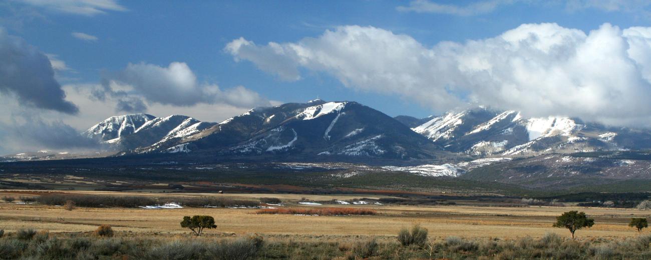
The Abajo Mountains are located just west of Monticello and north of Blanding in southeastern Utah. To help plan your route, please select one of the following maps: