


Transportation information for Canyonlands NP is provided below. Travel information includes driving directions, maps, airport information and more.
Transportation Services
Southwest Adventure Tours
- National Park Tours, Hiking, Sightseeing and Transportation Services
- Transportation Services
- 435-590-5864
Airports
Daily flights are available to Moab from Salt Lake City on Skywest Airlines (800-453-9417). Westracks shuttle service (435-259-7317) is available to Moab from the airport.
There is an Amtrak station (800-872-7245) in Green River on I-70 about 52 miles northwest of Moab. There is a Greyhound bus stop (800-231-2222) in Green River and at Crescent Jct. on I-70 about 30 miles northeast of Moab. Thrifty Rent-a-Car (435-259-7317) operates a shuttle from both stations to Moab.
Monticello is also a decent though smaller base from which to explore the Needles District, but it has no plane, train or bus service.
Map + Directions
Basic Directions
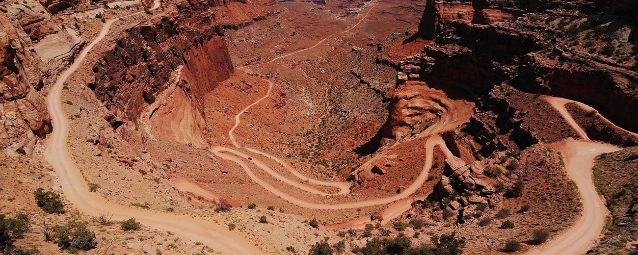
Canyonlands occupies 525 square miles in southeastern Utah, 40 miles south of I-70. The Island in the Sky District is 32 miles southwest of Moab. The Needles District is 75 miles south of Moab and 45 miles northwest of Monticello. The Maze District is 80 miles south of Green River.
To help plan your route, please select one of the following maps: