Basics
- Length:
- 12 miles oneway
- Difficulty:
- Intermediate
- Time To Allow:
- 4 - 5 hours


Use our easy Lodging Search to find exactly the type of accommodation you are looking for at the right price.
Search Now

Below are the Free Visitor Guides for Beaver. More Visitor Guides are available in Utah. Click here to view them all!


We also have the following visitor guides in Utah. Click on any additional guides you would like to receive.


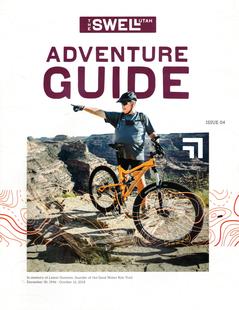


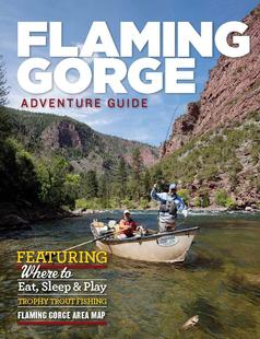


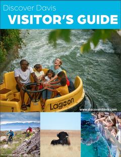





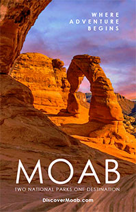














We also have visitor guides available in states highlighted in blue below. Click on any state to see what's available.
Switch to Mobile Browser Mode
We offer a compact version of Go-Utah for mobile users, allowing you to access just the information you need on the road. Of course, you can still use the full version of Go-Utah on your mobile device just as you can on your desktop.
