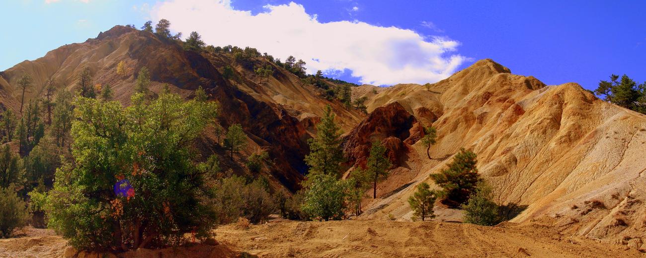


Though as Utah's third-highest range, the Tushars exceed the height of the Wasatch Mountains in Northern Utah, they remain underappreciated and relatively uncrowded. Although this is delightful for the rare visitor, it's a bit of a shame for the many that miss out. The area is remarkably scenic and diverse. Many different types of trees and other vegetation grow atop these slopes. This is also the home of "Big Rock Candy Mountain," a bizarre and beautiful multi-colored mountain of volcanic glass and many-hued rocks.
The Tushar Mountains make for a fascinating drive with a good network of hiking and biking trails, campgrounds and small lakes. ATV riders are also welcome on these slopes. In winter, there are skiing and snowmobiling opportunities.
The range is enclosed by I-15 to the west and Hwy 89 to the east. Easiest access is from Beaver, which is 52 miles north of Cedar City and 210 miles south of Salt Lake City.
To learn more about the Tushar Mountains, select a topic of interest from the left-hand column.